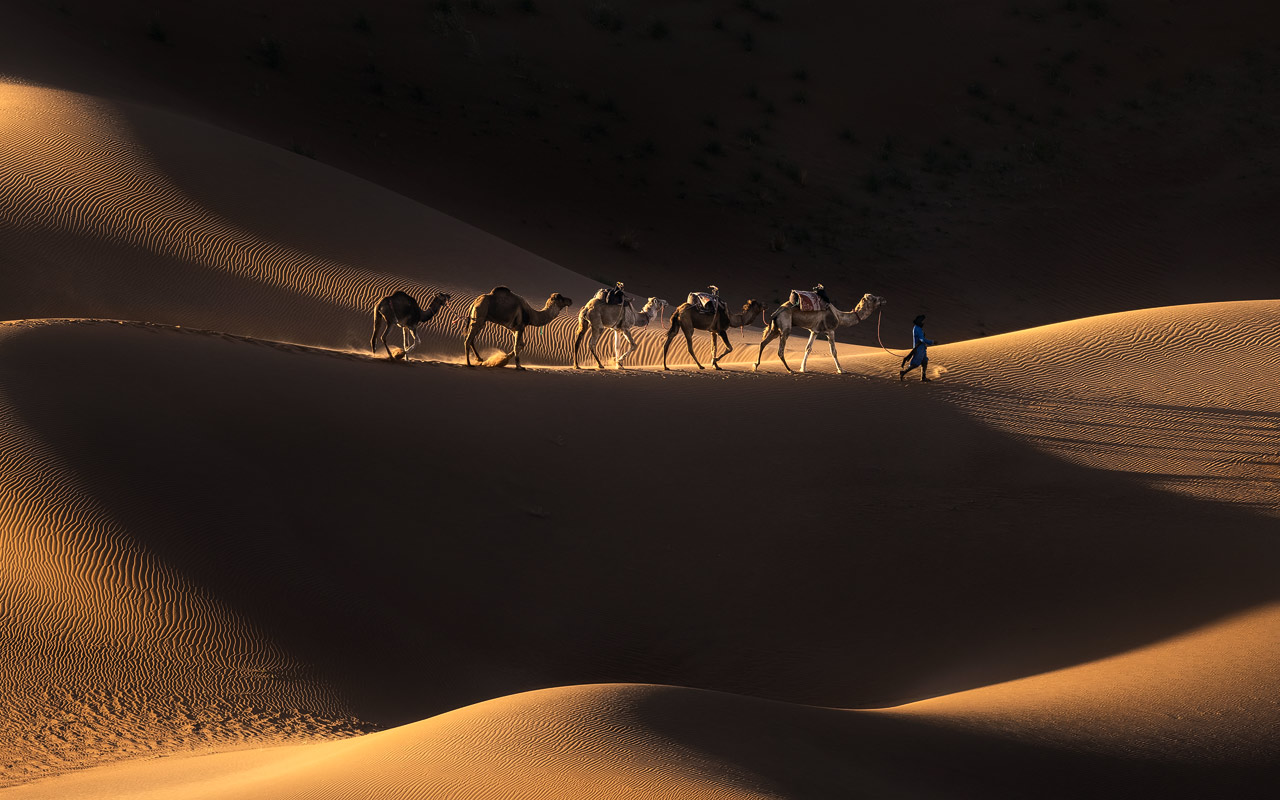
A khettara is a gravity-fed underground tunnel that channels groundwater from an aquifer to the surface — no pumps, no motors, no energy. The technology originated as the qanat in ancient Persia and was adapted in Morocco from roughly the 10th–11th century. Construction: a series of vertical shafts (10–50 m deep) connected by a gently sloping tunnel (1–15 km long, gradient ~1:1000). The Tafilalet region (near Merzouga) had 400+ historically. Surface sign: lines of circular mounds (spoil heaps) marking each shaft. See them: on any 3-day desert tour from €95.
How Khettaras Work

A khettara starts at a “mother well” — a deep vertical shaft dug into a hillside or elevated area where it reaches the water table. From this point, a gently sloping tunnel (gradient roughly 1:1000 — that’s just 1 metre of drop per kilometre) carries water underground toward lower-lying agricultural land. The water flows entirely by gravity — no pumps, no electricity, no moving parts.
Along the tunnel’s route, vertical access shafts are dug every 10–30 metres. These serve three purposes: construction access (workers dig the tunnel section by section between shafts), ventilation (air circulation for the diggers), and maintenance (clearing sediment and debris over the centuries). The visible sign on the surface is a line of circular mounds — spoil heaps of earth removed during digging — stretching across the landscape. From a distance, they look like a line of giant anthills.
Construction is entirely manual: picks, shovels, and locally sourced materials. Workers dig shafts first, then connect them underground. The tunnel walls are sometimes reinforced with stone or clay in unstable soil. Building a single khettara could take months to years and required precise knowledge of local geology and water table behaviour — passed down through generations of specialist well-diggers.
Key Facts
| Fact | Detail |
|---|---|
| What it is | Gravity-fed underground irrigation tunnel — aquifer to surface |
| Origin | Persian qanat technology, adapted in Morocco ~10th–11th century |
| Tunnel length | 1–15 km (some longer) |
| Shaft depth | 10–50 m (depends on water table) |
| Shaft spacing | Every 10–30 m along the tunnel |
| Gradient | ~1:1000 (1 m drop per km) |
| Energy used | Zero — gravity only, no pumps or motors |
| Tafilalet network | 400+ khettaras historically (largest in Morocco) |
| Status | Many abandoned; restoration projects underway in Skoura and Tafilalet |
| Surface sign | Lines of circular mounds (spoil heaps) marking vertical shafts |
| Global equivalents | Qanat (Iran), falaj (Oman), foggara (Algeria), acequia (Spain), karez (Afghanistan) |
Origins & History

The technology behind khettaras originated as the qanat in ancient Persia (modern Iran), where the earliest examples date to roughly 1000 BCE. The technique spread across the Islamic world during the medieval golden age — reaching Morocco, North Africa, Spain, and Central Asia. In Morocco, khettaras were established from around the 10th–11th century, becoming the backbone of oasis agriculture in the arid south.
The same basic technology goes by different names across the world: qanat (Iran — UNESCO World Heritage), falaj (Oman — also UNESCO-listed), foggara (Algeria), acequia (Spain), and karez (Afghanistan, western China). All share the same principle: gravity-fed underground tunnels from aquifer to surface. Morocco’s khettaras are the westernmost branch of this global family of water engineering.
Khettaras didn’t just irrigate — they shaped entire communities. Water rights were communally managed, with precise allocation schedules determining which family received water on which day. This social organisation persists in some oasis towns today and is one of the oldest continuous systems of resource governance in North Africa. The Berber communities who built and maintained them passed the specialist knowledge through family lineages of well-diggers.
Where to See Khettaras

Tafilalet & Merzouga (Largest Network)
The Tafilalet region — stretching from Erfoud through Rissani to Merzouga — has the largest surviving khettara network in Morocco. Historically, over 400 khettaras irrigated the palm groves and date plantations that made the Tafilalet one of the richest oasis regions in North Africa. Many are now abandoned (see “Why They’re Disappearing” below), but the shaft mounds remain visible across the landscape. The area around Erfoud also has a small khettara eco-museum where restoration efforts are on display.

Skoura Oasis (Restoration)
The Skoura Oasis — home to Kasbah Amridil and thousands of palm trees — has been the site of community-led khettara restoration projects. Local families and NGOs have worked to reopen channels, clear collapsed sections, and reconnect khettaras to functioning water sources. Skoura is on the route of 4-day+ desert tours.
Marrakech Palmeraie (Historical)
Less well known: Marrakech’s own Palmeraie — the 13,000-hectare palm grove on the city’s northern edge — was historically irrigated by a khettara network. These are no longer functional (replaced by modern wells), but the history connects Marrakech itself to the broader khettara tradition. You can visit the Palmeraie on a 1-hour camel ride (€25).
| Tour | Duration | Khettara Region | From |
|---|---|---|---|
| Shared Merzouga Tour | 3 days | Tafilalet (Day 2) | €95 |
| Private Merzouga Tour | 3 days | Tafilalet (Day 2) | €195 |
| 4-Day Extended | 4 days | Tafilalet + Skoura | €275 |
| Palmeraie Camel Ride | 1 hour | Marrakech Palmeraie | €25 |
Why They’re Disappearing

Despite their ingenious design, khettaras face serious threats. The biggest: modern deep wells and motor pumps. These extract water from the same aquifers but much faster than khettaras can recharge — lowering the water table below the level the khettara tunnels can reach. Once a khettara dries up, maintenance stops, shafts collapse, and the tunnel fills with sediment. Recovering a collapsed khettara is expensive and labour-intensive.
Climate change compounds the problem: reduced rainfall in southern Morocco means less aquifer recharge. Urbanisation and population growth increase demand. The result: hundreds of khettaras have been abandoned in the Tafilalet and Draa valleys over the past half-century. Conservation efforts exist — led by local NGOs, community groups, and international partners — but the pace of loss often outstrips restoration.

What: Gravity-fed underground tunnel from aquifer to surface. No pumps, no energy.
Origin: Persian qanat → Morocco ~10th century. Same family as falaj (Oman), foggara (Algeria).
Dimensions: Length 1–15 km, shaft depth 10–50 m, gradient ~1:1000.
Where: Tafilalet (400+ historic), Skoura (restoration), Marrakech Palmeraie (historical).
Threat: Modern pumps lowering water tables. Hundreds abandoned.
See them: On any 3-day desert tour from Marrakech — shaft mounds visible between Erfoud and Merzouga.